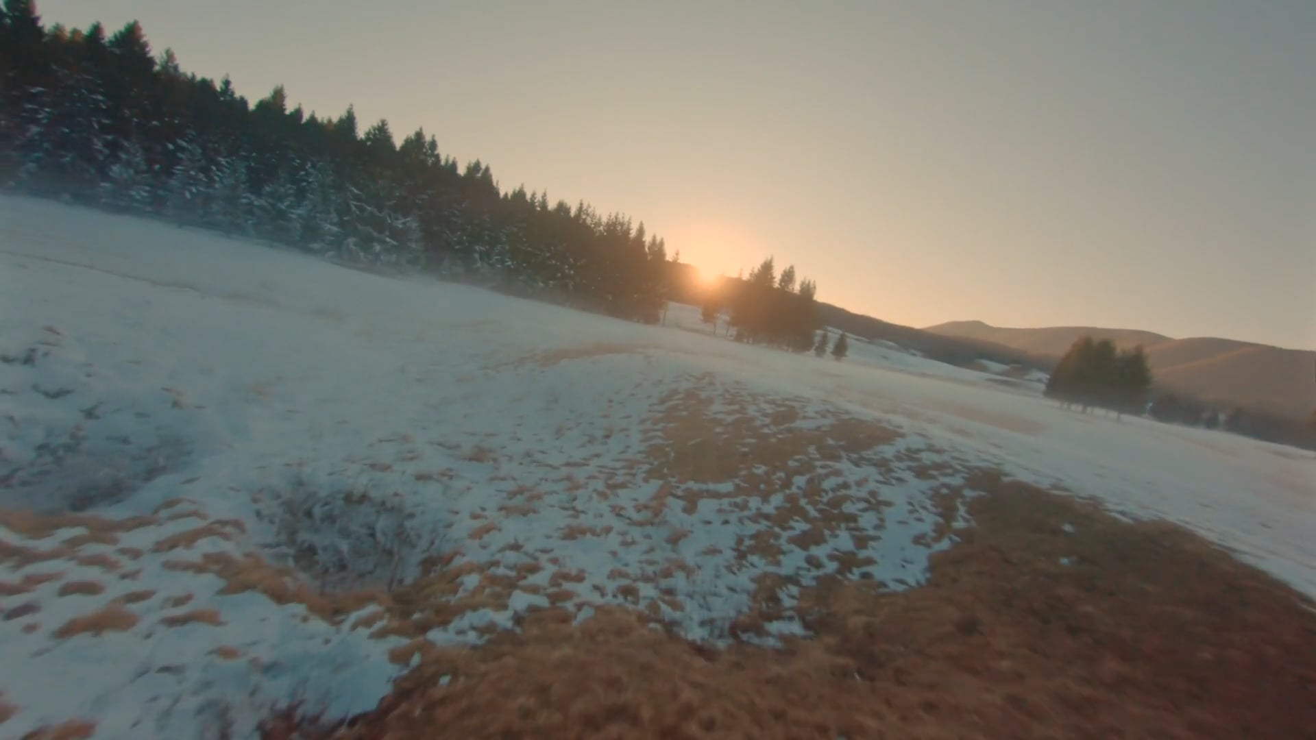
Pushing the Envelope
AI Agent-Driven Aerospace Systems for Mission Intelligence
Pushing the Envelope
AI Agent-Driven Aerospace Systems for Mission Intelligence
L10X AeroInnovations develops adaptive robotic systems powered by intelligent agents that learn from real-world operations. Our proprietary AI agents — OPTIMA™ and VISION™ — transform raw mission data into actionable intelligence, closing the loop between data collection, analysis, and next-mission optimization.
We specialize in high-resolution terrain mapping, vegetative analysis, and autonomous mission planning — building AI-driven systems that learn, adapt, and improve over time.
L10X is powered by decades of experience in aerospace, autonomy, and analytics. Our mission: to bring the rigor of aerospace systems to critical terrestrial environments — starting with the vine.
“After decades advancing autonomy and mission systems in aerospace, I saw an opportunity to apply that same intelligence to something much closer to home — the land itself. Vineyards are living systems, and like any mission-critical environment, they benefit from data, pattern recognition, and continuous learning. That’s why I created L10X — to bring responsive, AI-powered mission agents to the vine.”
— Zigmond Leszczynski, Founder, L10X AeroInnovations
Optimized Tactical Parametric Intelligent Mission Agent
A mission optimization agent that learns from every flight. OPTIMA™ continuously refines flight paths, data strategies, and analytics routines based on prior mission data — integrating terrain, telemetry, and vegetation outcomes into an evolving mission intelligence loop.
Vegetative Insight via Spectral Indices and Optimization Network
An intelligent spectral analysis agent that fuses RGB and satellite data using a suite of both standard and proprietary indices — including VARI, TGI, PDI, and Sentinel-2 overlays like NDVI, NDRE, and SIPI2. VISION™ identifies spatial trends and anomaly patterns to inform agricultural and terrain decisions.
Together, OPTIMA™ and VISION™ form a responsive AI Agent system — one that learns from the land and improves with every mission.
High-resolution 2D/3D site modeling for planning, slope, and spatial variation
Detect surface disruption, stress, and vegetative shifts over time
AI agents analyze telemetry and outcomes to recommend better missions
Create site twins for simulation, planning, and synthetic analytics
Each flight delivers:
Seasonal Offerings:
Optional Add-Ons:
Using GCP-enhanced mapping and VISION™ overlays, L10X is mapping vegetative variability, drainage patterns, and stress zones across 100 acres.
Digital twin and terrain modeling support erosion control and regenerative land use planning.
L10X agents are designed to scale — from vineyard to valley, from Earth to orbit.
The same AI agent systems refined through agricultural terrain analytics can support:
We’re building more than a drone service.
We’re deploying learning AI agents for Earth and beyond.
We use cookies to analyze website traffic and optimize your website experience. By accepting our use of cookies, your data will be aggregated with all other user data.