AEROSPACE AUTONOMY SYSTEMS
Advanced Aerial Intelligence & Autonomous Mission Systems
High-resolution UAS imagery acquisition, tactical geospatial analysis, and next-generation AI-driven mission planning optimization for high-stakes environments.
PIONEERING AUTONOMY
The Mission
At L10X AeroInnovations, we deliver state-of-the-art UAS imagery, precision topographic data, and actionable intelligence where satellite or manned aircraft coverage falls short.
By combining rigorous flight operations with edge-processed analytics and proprietary AI R&D, we turn raw aerial data into definitive, high-resolution ground truth. From advanced mapping to the development of intelligent mission-planning frameworks utilizing Genetic Algorithms (GAs) and Large Language Models (LLMs), we push the boundaries of autonomous operational efficiency.
CORE CAPABILTIES
Expertise Verticals / The L10X Stack
We deliver elite advisory services engineered for high-stakes aerospace environments, ensuring your autonomous systems operate with absolute precision and safety.
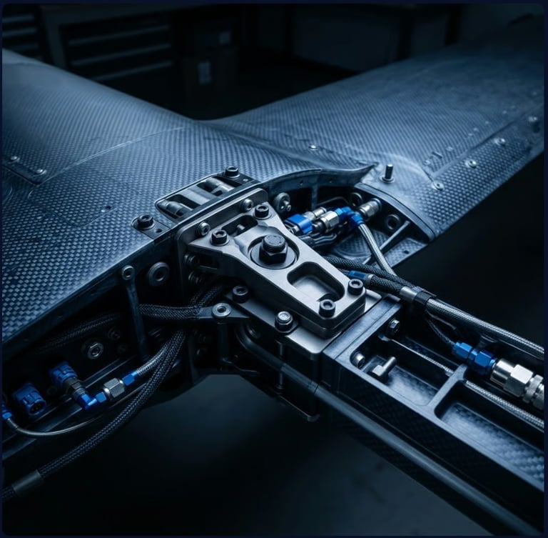
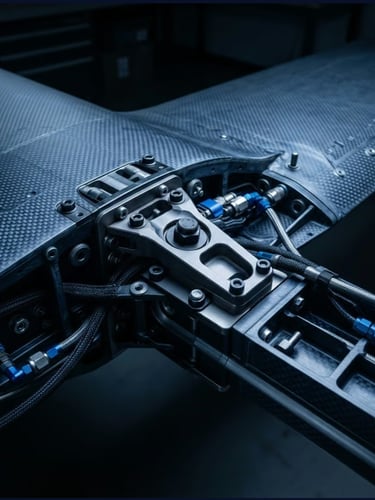
Tactical Aerial Mapping & Imagery
Topographic Intelligence
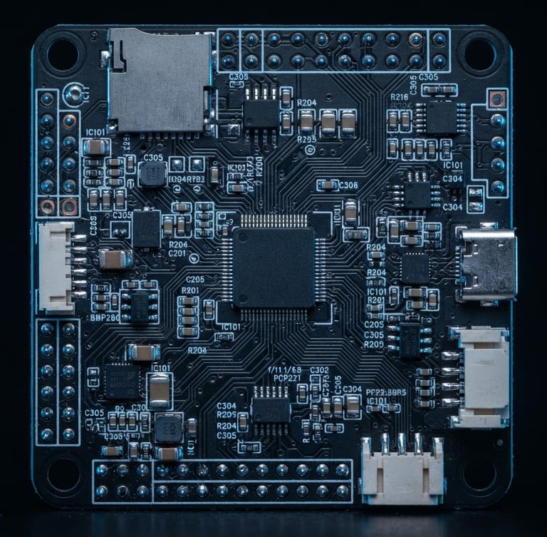
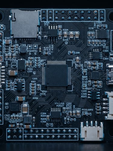
AI Mission Optimization (R&D)
Precision photogrammetry, tactical LWIR (Long-Wave Infrared), and imagery data collection optimized for precision agriculture (VISION™) and environmental analysis.
Generation of high-fidelity Digital Twin models, hydrological mapping, and advanced Digital Terrain Models (DTM) (TERRA™) to master complex landscape geometry and infrastructure constraints.
Developing cutting-edge software solutions to optimize flight parameters and complex mission architectures—evolving from robust Genetic Algorithms to advanced LLM-driven decision tools.
CREDENTIALS
The L10X Trust Architecture
Data Sovereignty: NDAA & ASDA Compliant aircraft operations. Your data is processed never stored or processed on restricted foreign-owned servers.
Aviation Pedigree: Every flight asset, mapping profile, and intelligence set is overseen by a retired U.S. Navy Flight Officer and Mission Commander holding an M.S. in Astronautical Engineering and a B.S. in Electrical Engineering with decades of experience in flight operations and tactical execution.
Certified Security: Advanced UAS risk management backed by current DroneSec DSOC and CSVA credentials.
DISCLAIMER
L10X AeroInnovations provides aerial mapping, topography, and inspection data for informational and management purposes only. We are not Licensed Land Surveyors; our products do not represent legal property boundaries or authoritative surveys for deed recording
L10X AeroInnovations LLC
Responsive data-driven decision support for high-stakes missions.
OVERVIEW
© 2026 L10X AeroInnovations LLC-Based in Northern Virginia.
FLIGHT AUTONOMY